top of page

Building digital agriculture
with satellite sensors
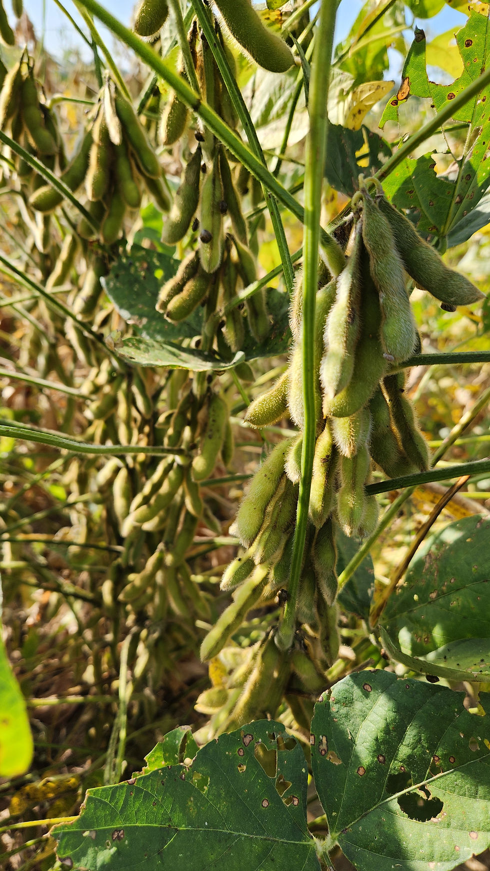
Digital agriculture involves the integration of critical information from various sources, including satellite imagery, soil sensors, weather forecasts, and crop data, to optimize agricultural practices. In particular, satellite remote sensing enables large area coverage and time series analysis of crop growth and health to provide insights into agriculture management. Through the use of satellite imagery and advanced deep learning algorithms, digital farming helps improve resource management, detect early signs of crop stress, and enhance overall farm efficiency, paving the way for a more sustainable and resilient agricultural future.


Access to MSU experimental areas with different crop types and management
Equipment and experience team for fieldwork data collection


Our agricultural research focuses on satellite-based crop monitoring using HPC resources, AI algorithms, and field observations.


bottom of page